Examples Gallery#
This gallery contains examples demonstrating the various features of pyinterp. Browse through the examples to learn how to use the library for different interpolation tasks.
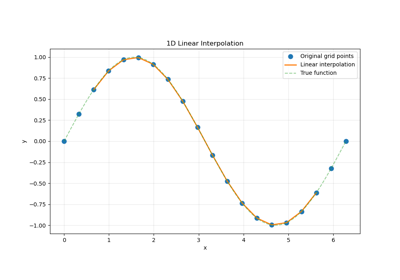
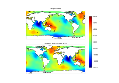
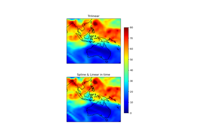
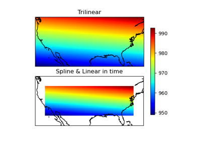
Gridded Interpolation & Multidimensional Examples#
Explore pyinterp’s capabilities for interpolation in 1D, 2D, 3D, and 4D, as well as handling unstructured grids.
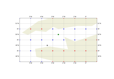
Optimal Interpolation Examples#
Explore pyinterp’s capabilities for optimal interpolation.
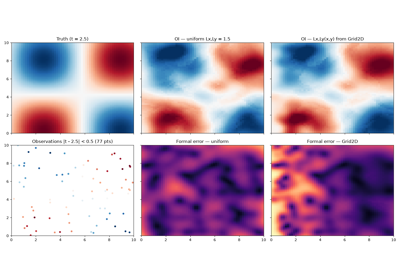
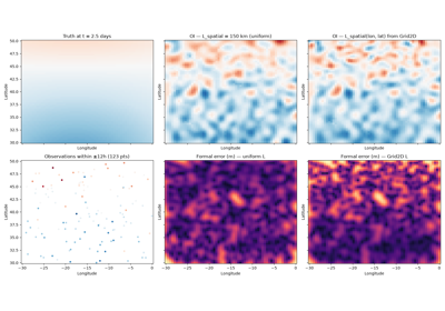
Optimal Interpolation (OI) — global mode (lon, lat, time)
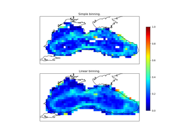
Binning & Statistics#
Learn how to perform data binning and compute descriptive statistics using pyinterp’s built-in tools.

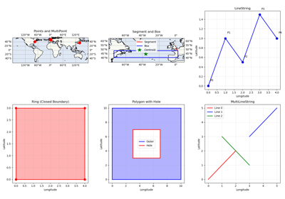
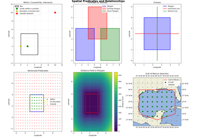
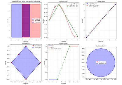
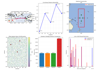
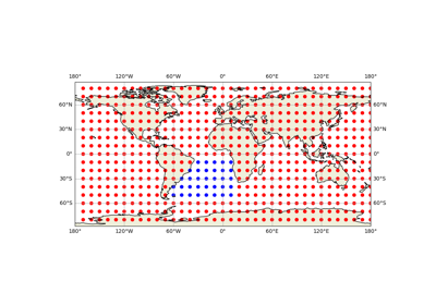
Geospatial & Geodetic Operations#
Demonstrates geospatial operations such as geodetic calculations and geohash encoding/decoding.
Utilities & Date Handling#
Covers utility functions for date manipulation and handling undefined values in datasets.

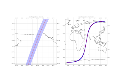
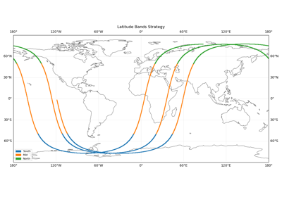
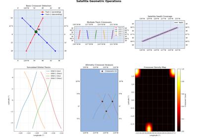
Orbit & Temporal Analysis#
Examples focused on orbit-related computations and temporal data analysis.